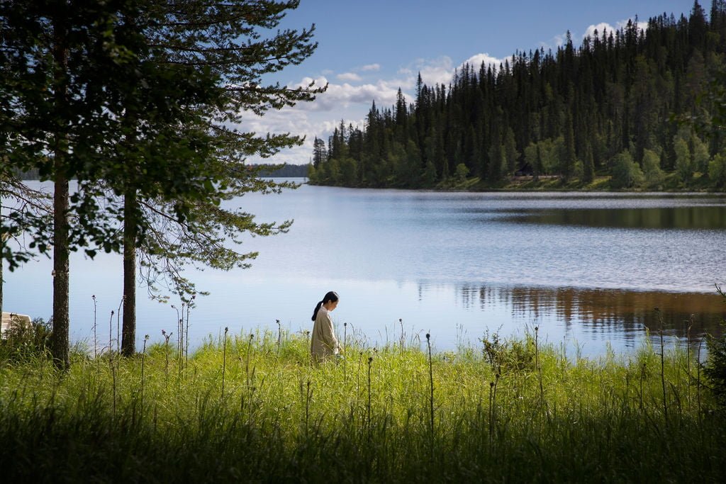
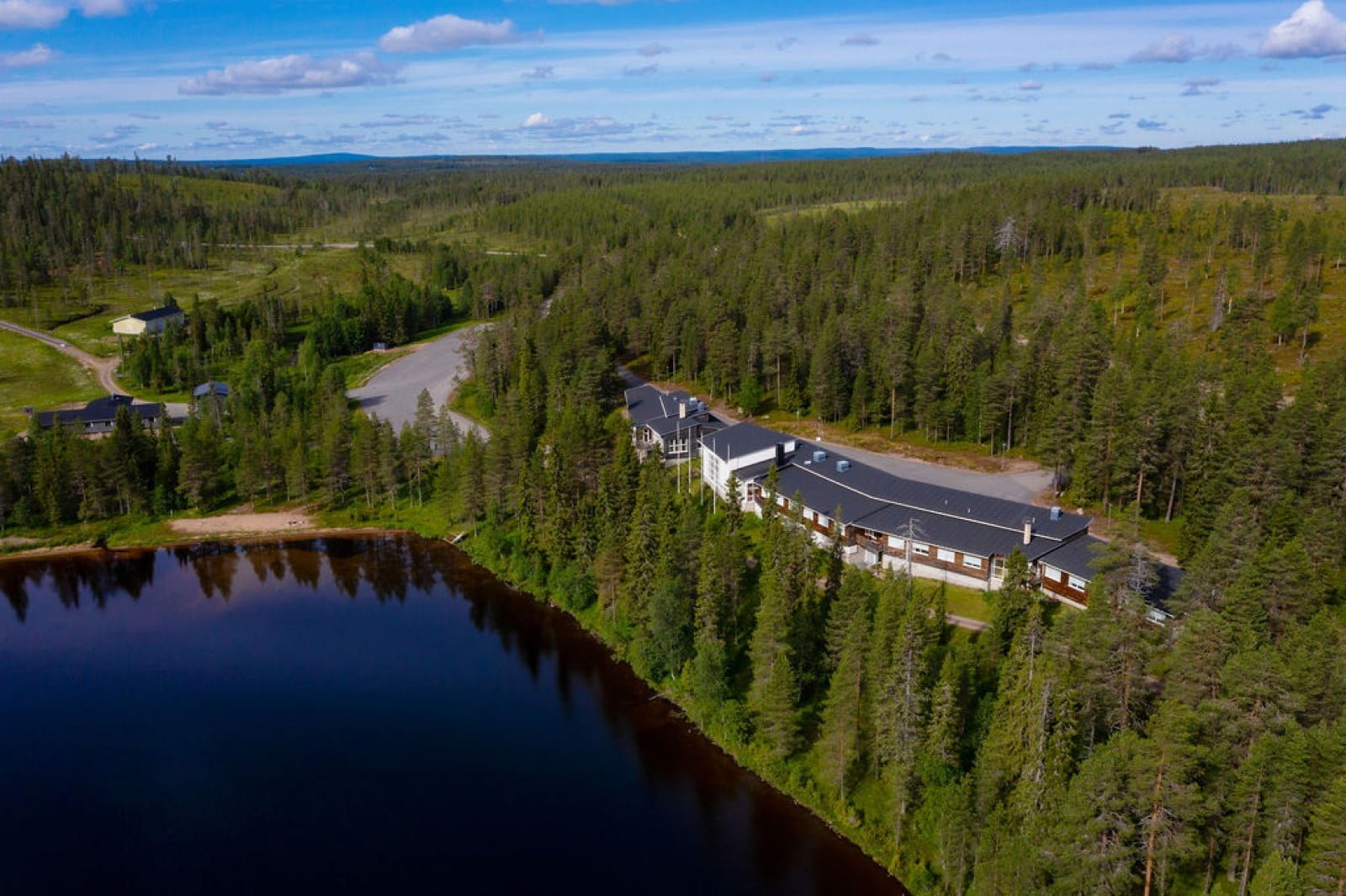
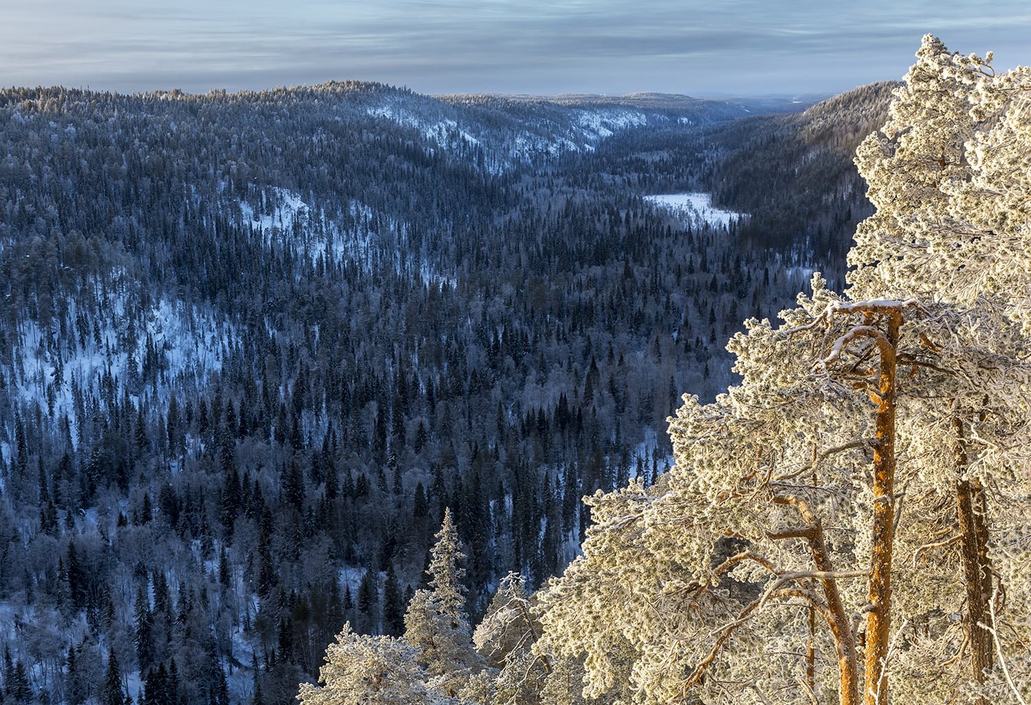
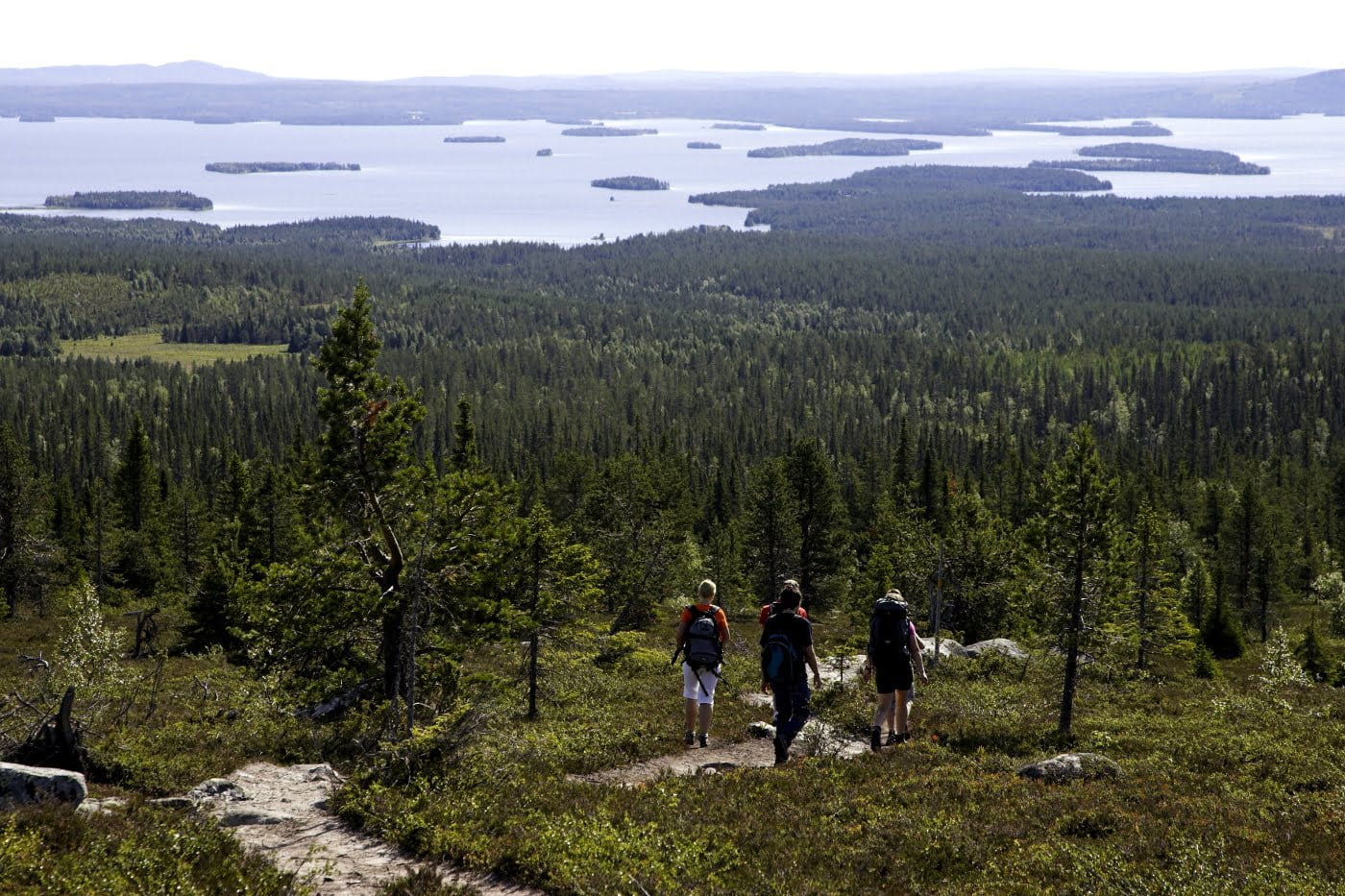
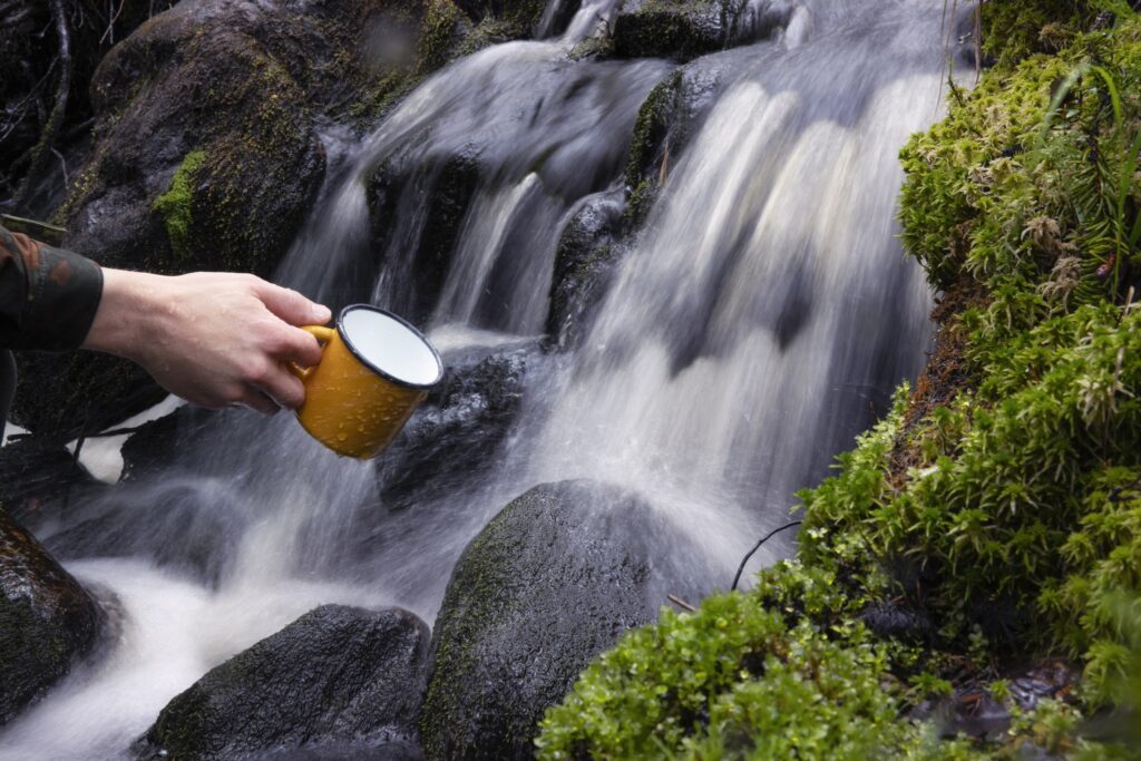
Kirintövaara recreation area is an excellent holiday destination for travelers who value tranquility, being outdoors and the wilderness. Kirintövaara has downhill skiing slopes and a cross-country skiing trail network covering 60 kilometers. There are also snowmobile route connections to Ruka, Suomu, Syöte and elsewhere in Lapland.
Kirintövaara has two hiking trails for day-trip visitors and a longer 2-day route that passes through Karitunturi peat protection area and leads all the way to Riisitunturi National Park. Other summer activities in Kirintövaara include disc golf, orienteering and geocache orienteering.
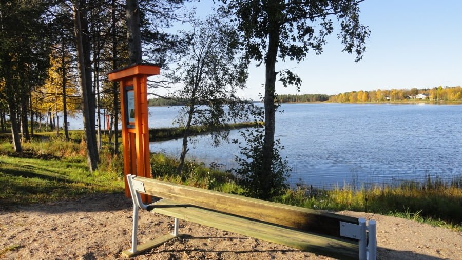
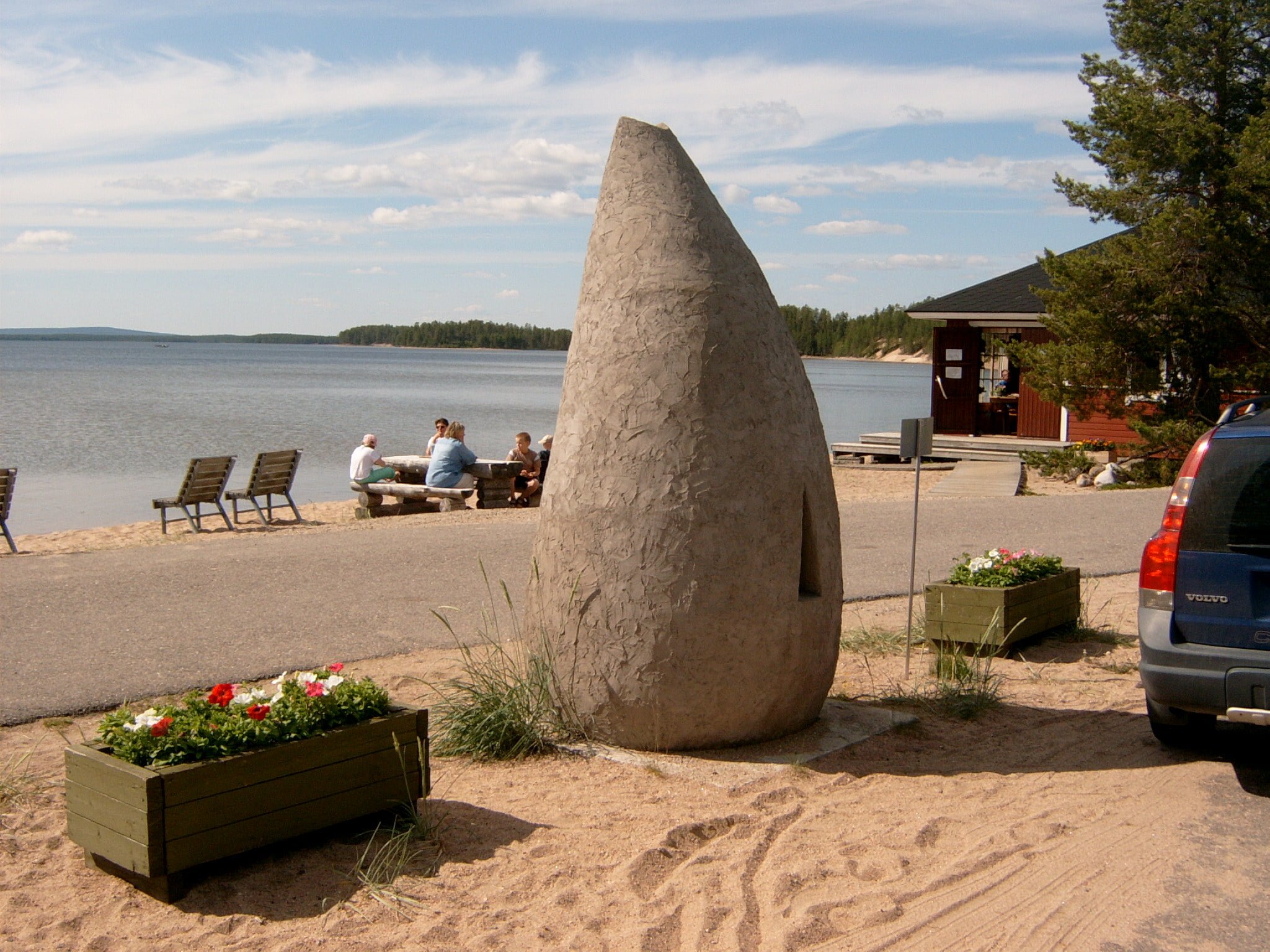
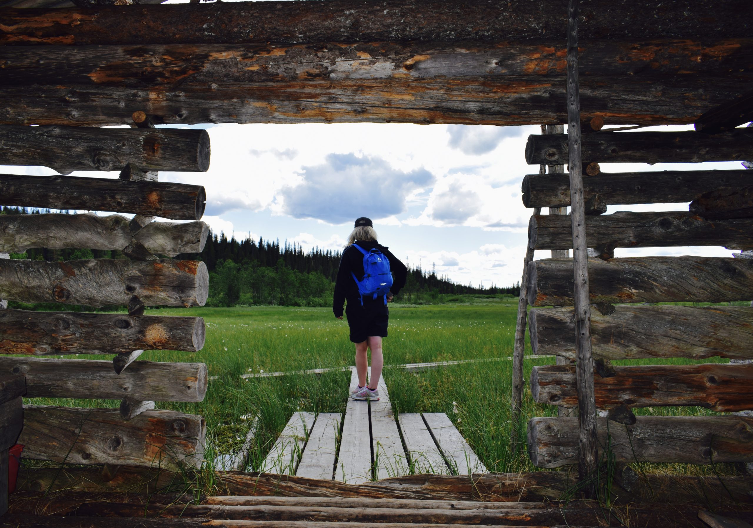
There are many rental cottages available in Kirintövaara, and Hotel Kirikeskus also sits at the foot of the fell. There is an accessible hiking trail and campfire site in Kirintövaara. The route is 500 meters long and it runs along the shoreline of lake Kirintöjärvi leading to a wheelchair accessible lean-to-shelter with a nice lake view. The route is four meters wide and it is suitable for wheelchairs, pushchairs and strollers.
KIRINTÖVAARA HIKING ROUTES
Kirintövaara has two hiking trails for day-trip visitors and a longer 2-day route that passes through Karitunturi peat protection area and leads all the way to Riisitunturi National Park.
More information about the trails:
Duration: 2-3 hours
Trail markings: Green paint
Difficulty level: Medium, circle trail
Suitability: Suitable for the whole family
Trail description
The circle route runs clockwise in forest wilderness occasionally offering glimpses of impressive Lappish mountain and lake sceneries. The trail passes Lake Kitkajärvi, Lake Posiojärvi, Kirintövaara Fell and a rocky old-growth forest with hundreds of years old pine trees. For the avid mushroom picker, the trail offers a chance to find the delicious Yellowfoot (Craterellus tubaeformis) in the late autumn.
Good to know
There is a Kuoppavaara lean-to shelter including a campfire place and dry toilets on the way.
To start the trail
The Kirintövaara starting point is about 9 km from the center of Posio. Drive 6 km from Posio in the direction of Kuusamo and turn left to Kirintövaara when you see a sign for Hotel Kirikeskus. The starting point is the parking area of Hotel Kirikeskus, where you will also find information boards.
The point can be reached with a car or taxi (Tel. +358 16 3721555). You can also take a bus to the Kirintövaara junction (on the road Kuusamontie), and walk 2.5 km up the fell to reach the starting point. Buses leave twice a day and start from Ingan Tupa café in the center of Posio (Address: toritie 4). Detailed schedules: www.matkahuolto.fi.
Starting point
Address: Kiririnteentie 1, 97900 Posio
WGS84
lat: 66° 6.4674′
lon: 28° 17.0842′
ETRS-TM35FIN
P: 7332519m
I: 558060m
KKJ
P: 7335586m
I: 3558255m
Duration: 3-4 hours
Trail markings: Green paint
Difficulty level: Medium, circle trail
Suitability: Suitable for the whole family. In the Matalavaara Fell area the path is worn and does not stand out from the terrain. Therefore hikers should pay special attention to the trail marking
Trail description
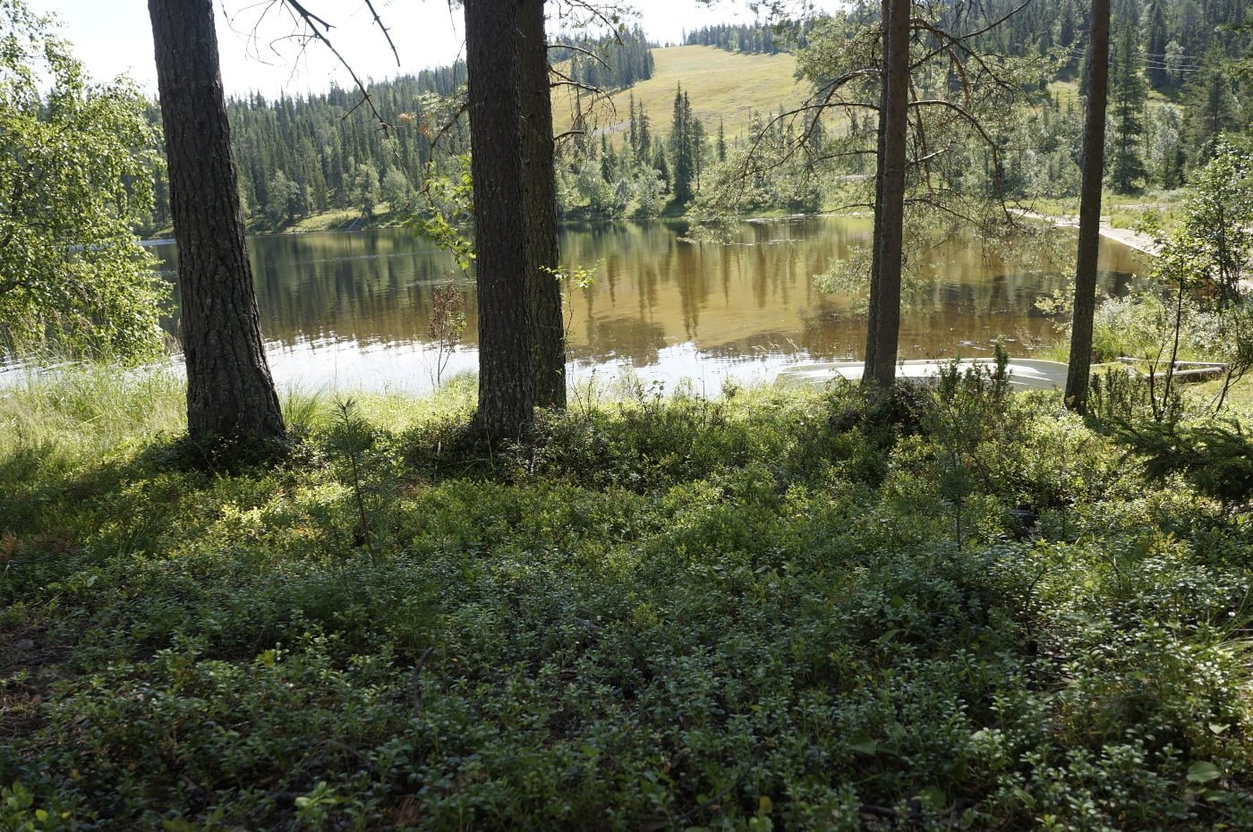
The circle route runs clockwise in forest wilderness occasionally offering glimpses of impressive Lappish mountain and lake sceneries. The trail passes Lake Kitkajärvi, Lake Posiojärvi, Iso-Karitunturi Mire Reserve, Kirintövaara and Karitunturi Fells, a rocky old-growth forest with hundreds of years old pine trees and the scrubby forest of Matalavaara peak. Get closer to the fell views by hiking to the Ahmatupa hut next to Karitunturi Fell or to the Karitunturi day trip hut (about 6 km one way).
Good to know
There is a Kuoppavaara lean-to shelter including a campfire place and dry toilets on the way.
To start the trail
The Kirintövaara starting point is about 9 km from the center of Posio. Drive 6 km from Posio in the direction of Kuusamo and turn left to Kirintövaara when you see a sign for Hotel Kirikeskus. The starting point is the parking area of Hotel Kirikeskus, where you will also find information boards.
The point can be reached with a car or taxi (Tel. +358 16 3721555). You can also take a bus to the Kirintövaara junction (on the road Kuusamontie), and walk 2.5 km up the fell to reach the starting point. Buses leave twice a day and start from Ingan Tupa café in the center of Posio (Address: toritie 4). Detailed schedules: www.matkahuolto.fi.
Starting point
Address: Kiririnteentie 1, 97900 Posio
WGS84
lat: 66° 6.4674′
lon: 28° 17.0842′
ETRS-TM35FIN
P: 7332519m
I: 558060m
KKJ P: 7335586m
I: 3558255m
Duration: 7 hours
Trail markings: Orange paint
Difficulty level: Moderate, linear trail
Suitability: the trail is suitable for a hiking trip lasting a couple of days.
Trail description
To start the trail
The Kirintövaara starting point is about 9 km from the center of Posio. Drive 6 km from Posio in the direction of Kuusamo and turn left to Kirintövaara when you see a sign for Hotel Kirikeskus. The starting point is the parking area of Hotel Kirikeskus, where you will also find information boards.
The point can be reached with a car or taxi (Tel. +358 16 3721555). You can also take a bus to the Kirintövaara junction (on the road Kuusamontie), and walk 2.5 km up the fell to reach the starting point. Buses leave twice a day and start from Ingan Tupa café in the center of Posio (Address: toritie 4). Detailed schedules: www.matkahuolto.fi.
Starting point
Address: Kiririnteentie 1, 97900 Posio
WGS84
lat: 66° 6.4674′
lon: 28° 17.0842′
ETRS-TM35FIN
P: 7332519m
I: 558060m
KKJ P: 7335586m
I: 3558255m
