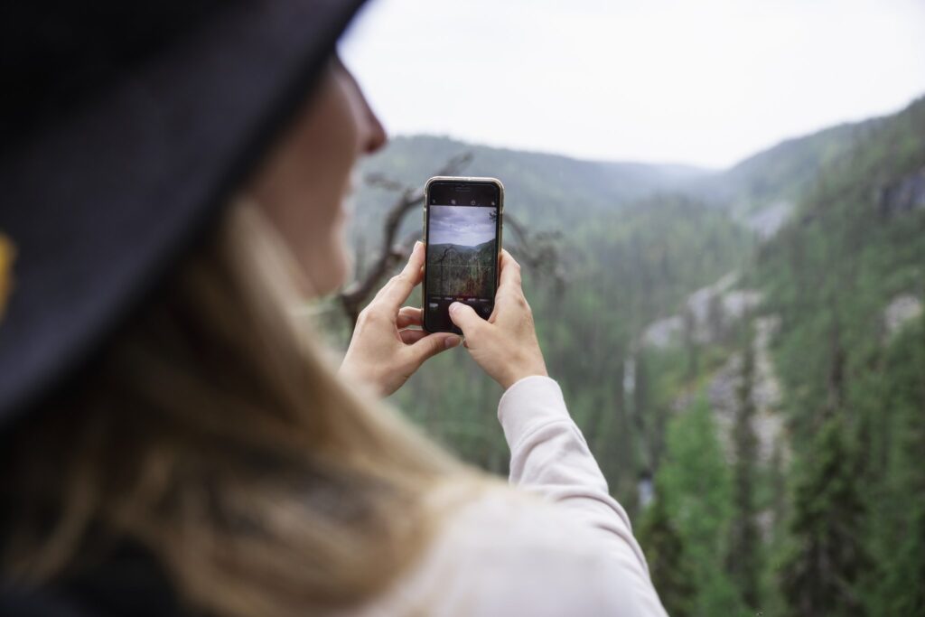
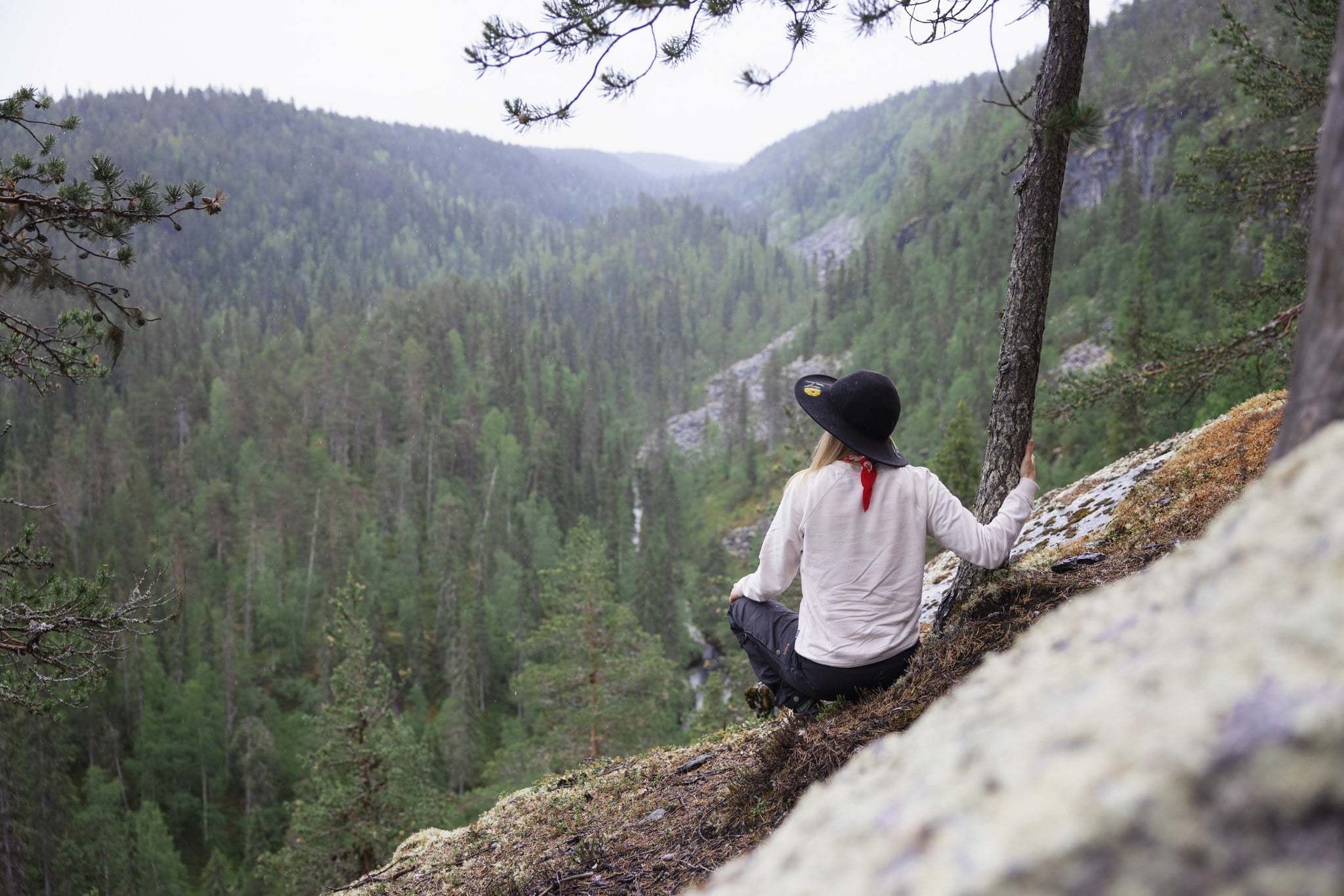
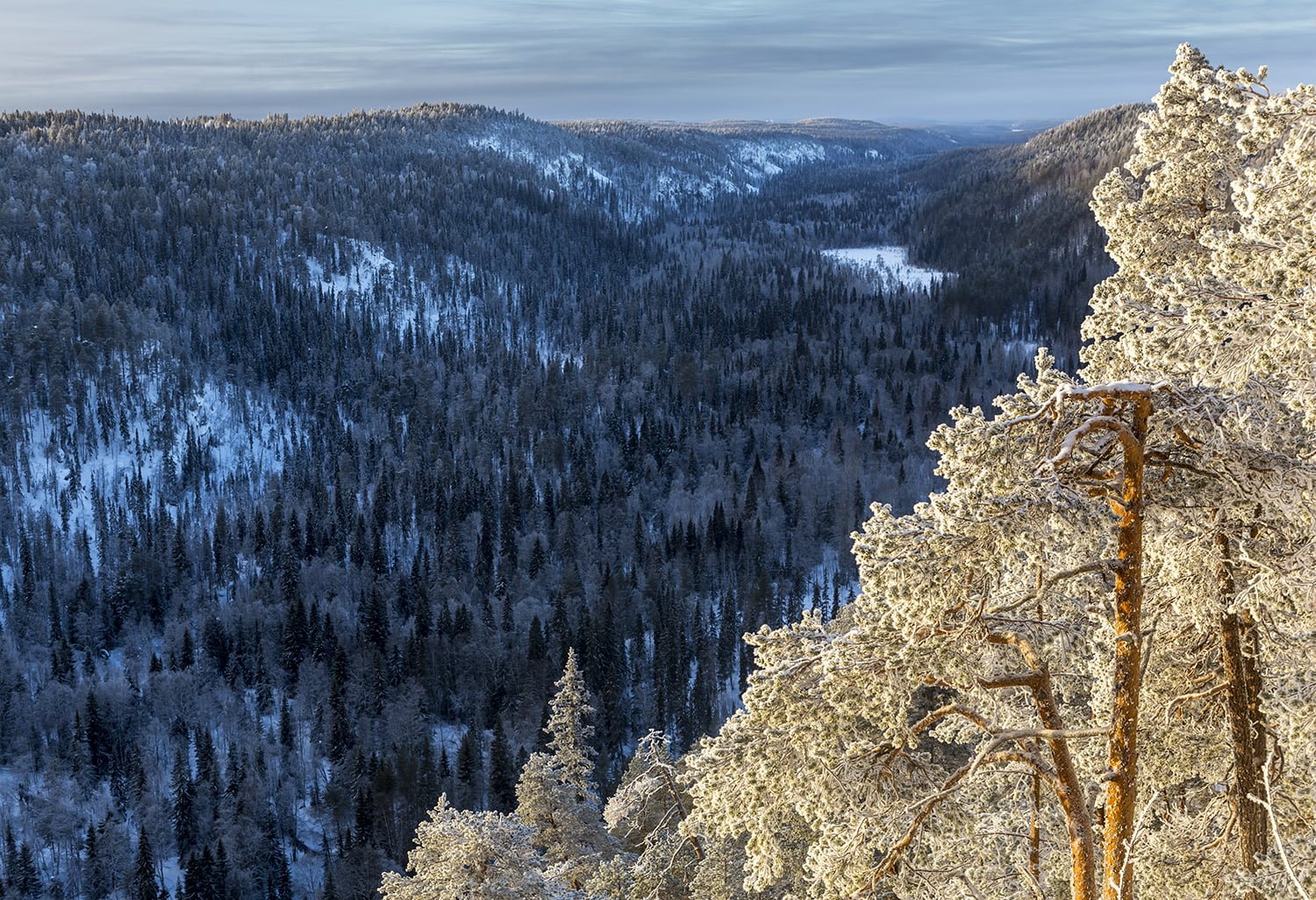
The hiking trails of Korouoma offer monthly changing views all year round! In the winter, a 5-km scenic route passes by three impressive frozen waterfalls. In the summer, unique flora and fauna, impressive boulder soils and the serpentine River Korojoki amaze hikers and create great opportunities for bird watching, nature photography and recreational fishing. You can also hike, ski or showshoe through the whole fracture valley following a 20-km out-and-back trail.
FROZEN WATERFALLS
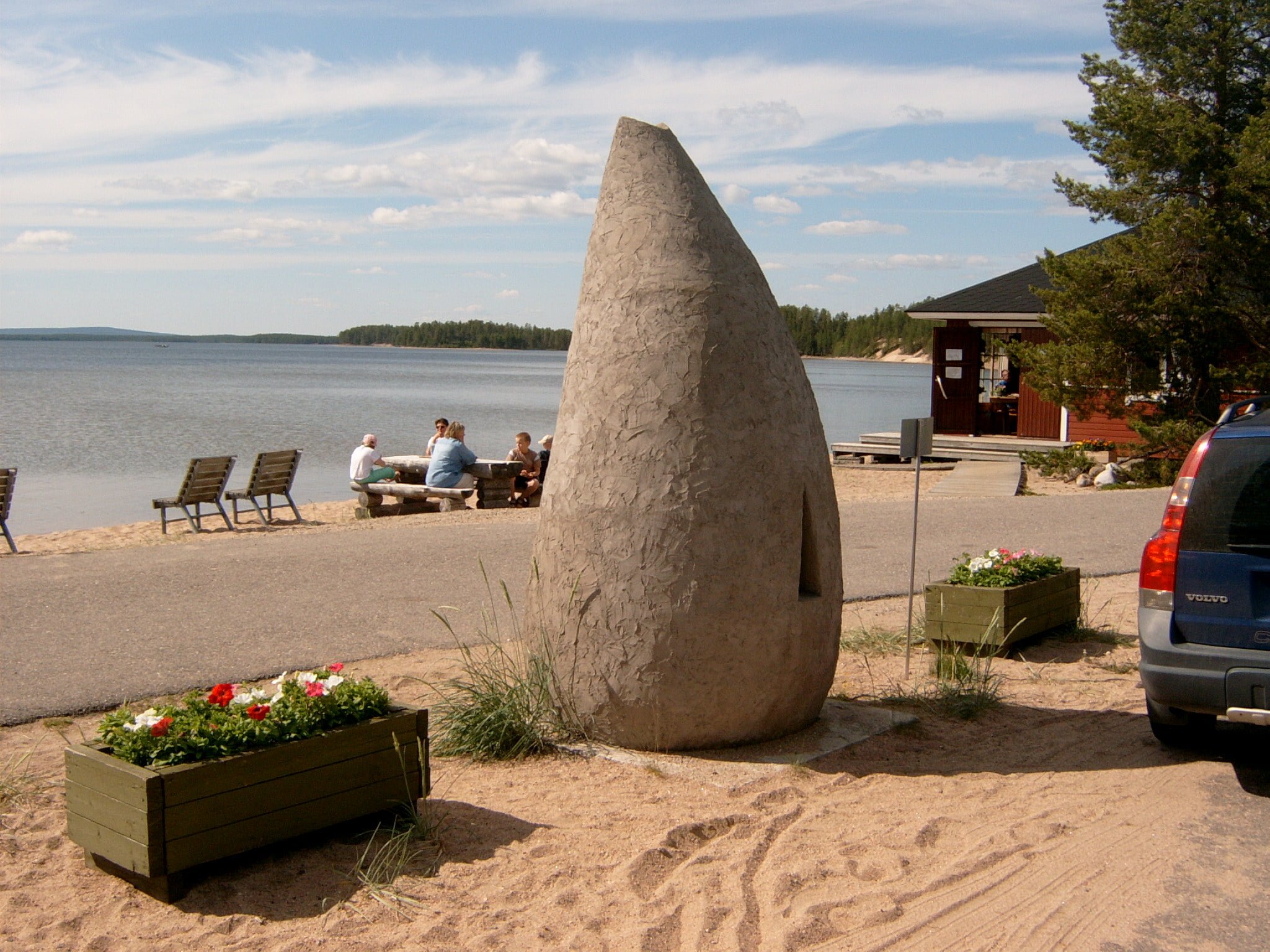
The winner of the best camping destination in2015
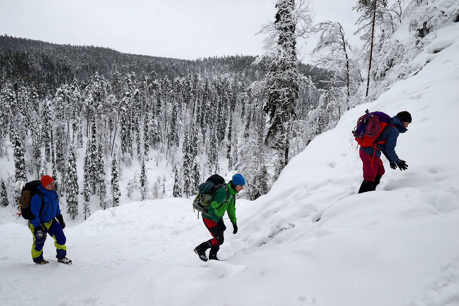
Korouoma is known for its magnificent frozen waterfalls that cover the tall cliffs in the winter. There are altogether 14 frozen waterfalls along the Korouoma hiking trail. Korouma is hands-down the best destination for ice climbing in Finland. Would you like to try ice climbing? You can read more about it here.
Majoitusta Korouoman lähistöllä
Find your perfect getaway near Korouoma and visit all the special destinations in Posio! Read more here.
KOROUOMA HIKING ROUTES
The hiking trails of Korouoma offer monthly changing views all year round! The 5-km circle trail is ideal for day hikes, whereas the 20-km out-and-back trail is perfect for those who enjoy a more challenging experience. Read more.
You can rent ice spikes for your shoes from Wilderness Cafe Korouoma. They can also help get back to your car when doing the 20km hiking trail.
Duration: 2-4 hours
Trail markings: Wooden poles
Difficulty level: Demanding, circle trail
Suitability: The route requires a basic physical fitness level due to its large altitude changes. Otherwise the trail is fairly easy – it has no stairs and it is well-marked. In the winter snowshoes or slip resistant shoes are recommended as the trail gets very slippery.
Trail description
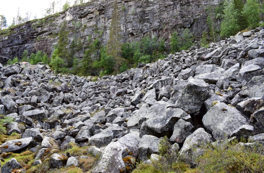
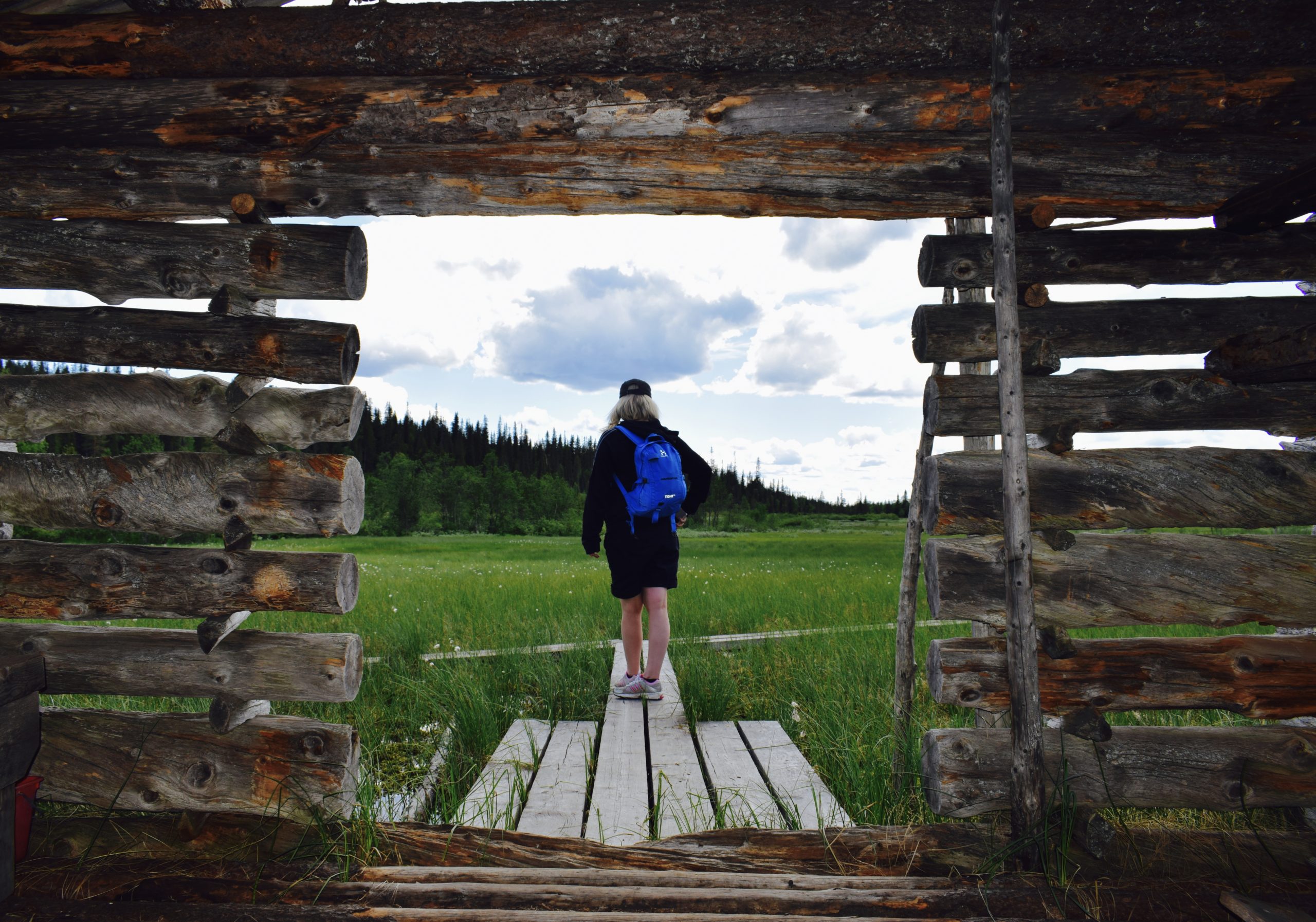
This trail offers amazing monthly changing views all year around! The circle route runs clockwise along an old horsetrack, and hikers can get in touch with the history of the area by reading the information boards along the trail. The Koronjää trail leads past stunning viewpoints where three massive frozen waterfalls – Charlie Brown, Mammoth Fall and Brown River – create impressive sceneries. There is also plenty to see in the summertime when the area is filled with lush vegetation, vertical cliffs, boulder soils and the serpentine river that runs the bottom of the canyon. Korouoma is also a perfect hiking destination in the fall, when the stunning fall colors take over the scenery – the view is guaranteed to take your breath away.
Good to know
There are resting areas and viewpoints along the way as well as a campfire site with dry toilets. The campfire site offers a wonderful view of the Brown River – one of the largest frozen waterfalls at Korouoma.
Starting point
The starting point is located 35 kilometers away from the Posio downtown area. To get there, drive 30 kilometers in the direction of Rovaniemi, until you get to the village of Pernu. When you see the Korouoma road sign, turn left onto Koppelojärventie. Drive 2 kilometers and turn right onto Saukkovaarantie. Continue on for 3 kilometers to get to the starting point, where you will find a parking area and Korouoma information boards. The point can be reached by car or taxi (tel. +358 16 3721555). You can also take the bus to the village of Pernu and then walk the 5 kilometers from Rovaniementie to the starting point. The bus usually runs twice a day and the Posio stop is located at Ingan Tupa Café (address: Toritie 4). You can find the bus schedules here.
Starting point
Address: Saukkovaarantie, 97815 Posio
WGS84
lat: 66° 9.3114′
lon: 27° 32.5769′ ETRS-TM35FIN
P: 7337314m I: 524492m
KKJ P: 7340383m I: 3524674m
Duration: 2 days
Trail markings: Orange paint
Difficulty level: Demanding, out-and-back trail
Suitability: The northern portion of the trail is the most rugged part of the canyon. In the south the steep cliffs soften into ridges. Basic physical fitness level and navigation skills are required for this route. The one way trail can be started from whichever end. A gps or compass and map are recommended for this route!
Korouoma Hiking Trail, 20 km
Level of difficulty: Intermediate.
Starting point:
Saukkovaara and Lapiosalmi (Lastenlampi).
Trail description:
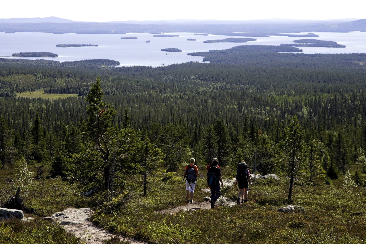
The trail runs through the majestic landscape of the Korouoma Canyon with its cliffs and eskers. The trail starts at Saukkovaara, descends into the canyon, and then follows the River Korojoki upstream. There are several maintained flood meadows along the trail. Towards the end, the trail climbs onto the eskers, offering splendid views of crystalclear lakes. Hiking structures: Six lean-to shelters, one open wilderness hut and one day trip hut and one wilderness cabin. Things to see: River Korojoki, flood meadows, the canyon with its rock walls, patches of herbrich forest, eskers at the north-east corner and the crystal-clear lakes. Trail marking: Orange paint marks on trees.

Korouoma brochure
Frozen waterfalls of Korouoma
Additional information
Location
Guided tours and equipment rental
In Korouoma region you can move around on your own or with a guide on the marked trails.
Guide services
Snowshoe rental
- Holiday Village Himmerki 10 €/day
- Posion Eräpalvelut 10 €/day (also backcountry skis available)
Ice spikes for shoes rental
- Wildernes Cafe Korouoma
Car transfer service from Wildernes Cafe Korouoma be sure to make a reservation at least a couple of days before the trip!
Fishing
You also might be interested in

Nature
Kirintövaara
Nature
Korouoma
Nature
Riisitunturi
Nature
Livojärvi
Sustainability
Green Key