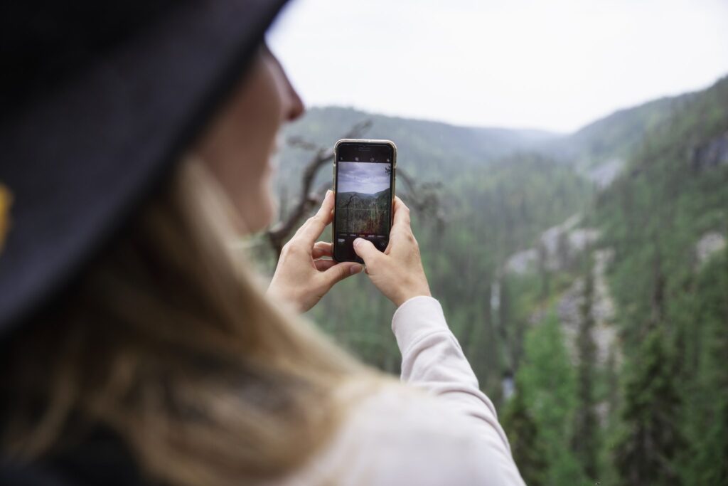
The Palotunturi hiking trail is located in West-Posio, north of the village of Pernu, in the old-growth forest protection program area. The route and the road leading there are open during snowless season.
Duration: 2-3 hours
Route markings: Markings in the trees
Route classification: Medium-demanding back and forth route
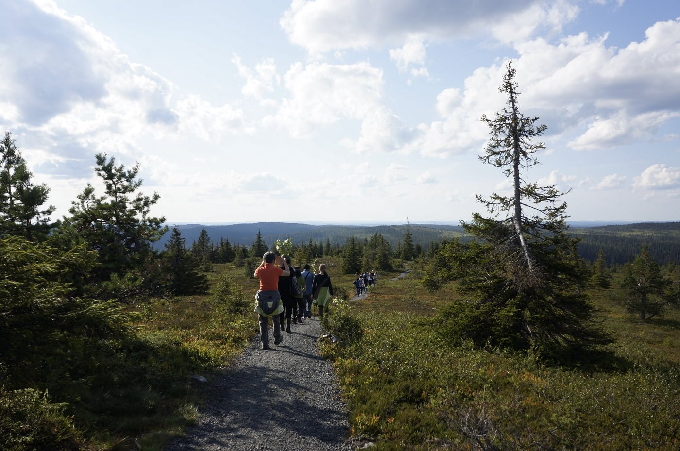
Suitability: The route is easy to navigate, but it can be wet in some places. In wooded swamps, the paint marks of the trees may momentarily disappear from the visitor’s sight. The route runs back and forth and is a total of about 4 km long. Height difference 100 m.
Route description
The Palotunturi hiking trail is located in West-Posio, north of the village of Pernu, in the old-growth forest protection program area.
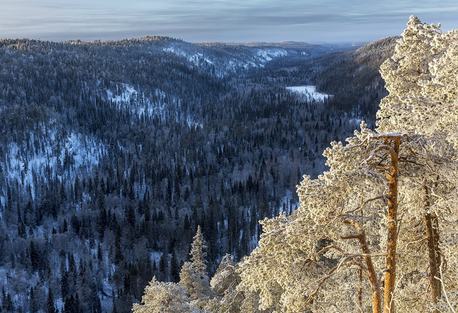
Palotunturi is part of the wilderness area of Mustarinnantunturi and Kiekkikaira, which is characterized by large elevation differences, variations in forests and bogs, and natural spruce trees. The Big Palotunturi rises 391 meters above sea level, and is thus the highest point in all of western Posio.
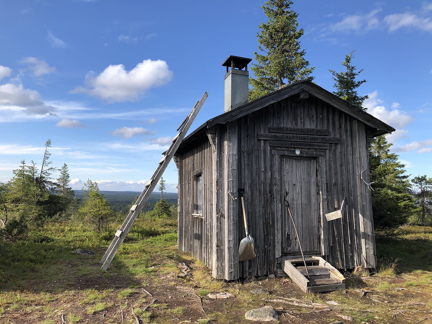
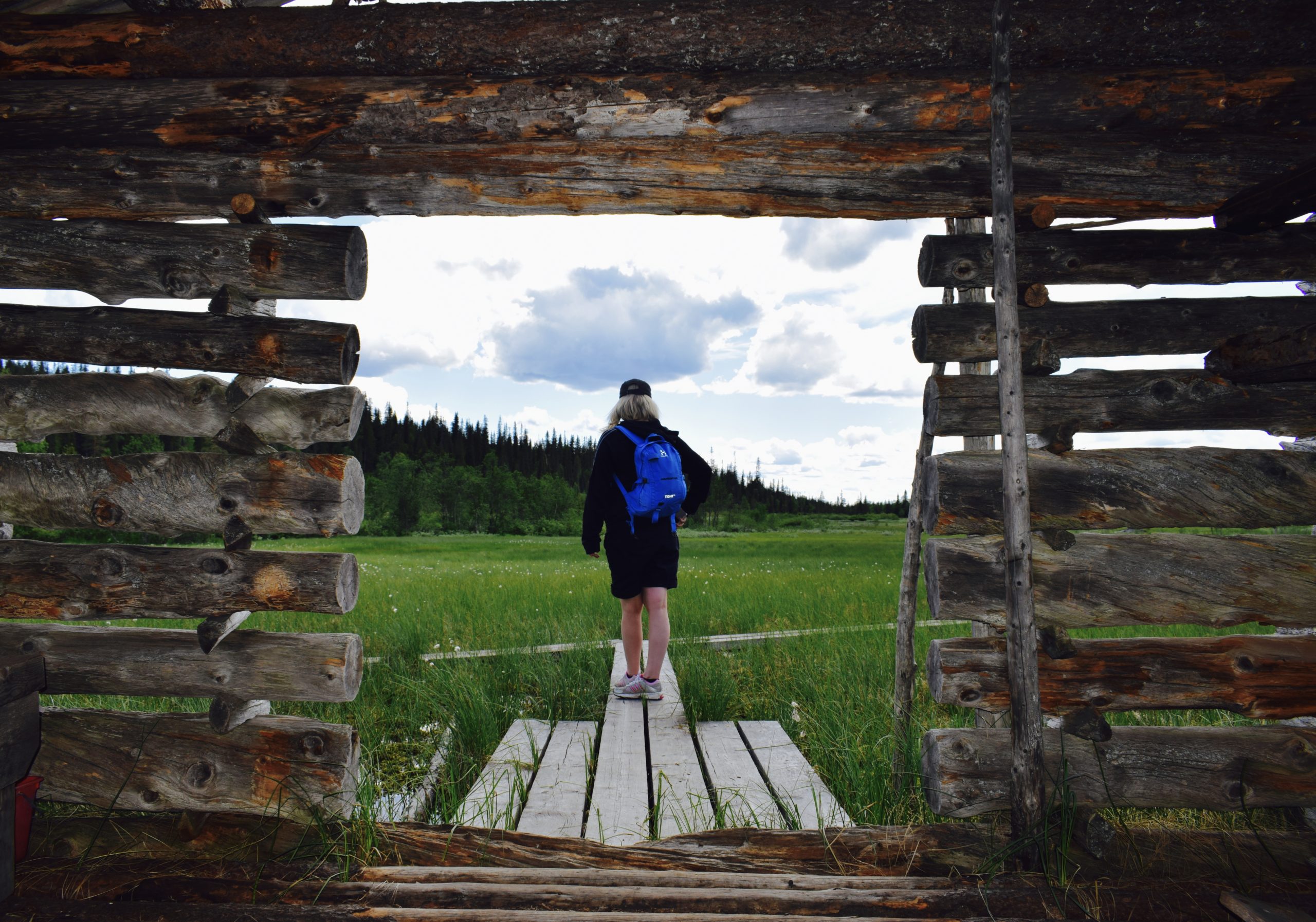
The marked route passes Small Palotunturi, the side of the mountain all the way to the top, where there is a fireplace and a wilderness hut, which is former fire guard’s hut. The scenery from the top rewards the hiker. The route runs through beautiful terrain dotted with swamps.
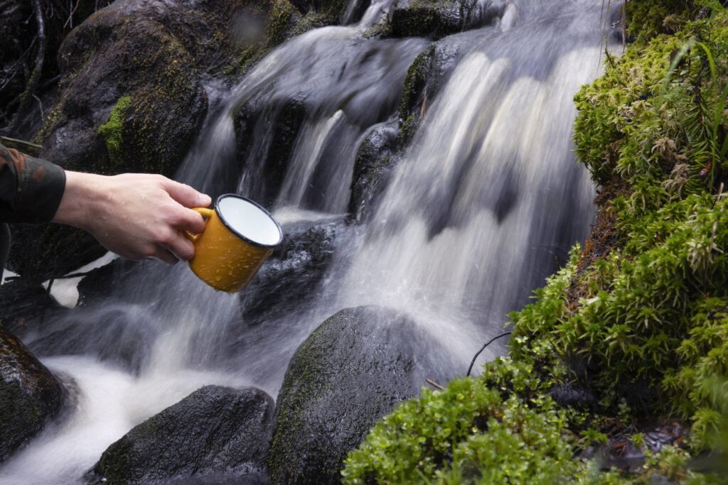
There are rare natural spruces in the Palotunturi area that have survived from felling and forest fires for more than 200 years. In addition, the old stand includes large pines, coils, earth trees, dead spruces and birch beeches.
Good to know
At the top of Palotunturi there is a wilderness hut, shed for firewood, a fireplace and a toilet. The name Palotunturi refers to forest fires that were once scouted from a fire guard’s hut at the top of Palotunturi. During the Second World War, the hut built by Metsähallitus served as an air surveillance station for the Defense Forces.
There was a lookout tower on the roof of the house, from which enemy planes and landings were observed. The Mustarinnantunturi and Kiekkikaira area is an ideal destination for wilderness hikers who want peace and wilderness visitors (hunters, fishermen). There are also some birdwatchers in the area.
To the beginning of the route
The starting point is about 35 km from Posio. From Posio, drive towards Rovaniemi (road no. 81) for about 25 km, and turn right onto Lamminvaarantie. This road continues for about 8 kilometers. The route starts on the left and there is a small widening for cars at the starting point. In addition to your own car, you can get to the starting point from the center of Posio by taxi.
Starting point
Lamminvaarantie, 97815 Posio
SINUA VOISI KIINNOSTAA MYÖS
Luonto
Esteetön matkailu

Luonto
Kirintövaara
Luonto
Korouoma
Luonto
Riisitunturi
Vastuullisuus
Green Key